


Jakarta – The South Sulawesi (Sulsel) Indonesian Forum for the Environment (Walhi) says that the suspected reason for the flash flood and landslide disaster in Luwu regency is because the forest cover on Mount Latimojong has declined significantly.
Walhi suspects that this has been triggered by the massive gold mining activates in the Latimojong region.
"If we look at the source of the disaster in the Latimojong mountainous area. This area is actually covers two districts, Luwu and Enrekang, so it is certain that the centre of the tragedy is in the Latimojong mountains", said Walhi Sulsel Executive Director Muhammad Al Amien on Sunday May 5 as quoted by Detik Sulsel.
"While in other areas such as Wajo and Sidrap it is only the impact of the disaster centered in Latimojong", he added.
Amien revealed that based on a study conducted by Walhi Sulsel, the carrying capacity and water absorption capacity of Mount Latimojong has begun to decline significantly. That, he continued, has been exacerbated by a decrease in forest cover, mainly due to mining activity.
It is that, he continued, that has resulted in Luwu often being hit by floods and landslides.
"From the study we did over the last three years the carrying capacity and absorption capacity in Latimojong has indeed began to decline significantly, in concert with a decrease in land cover in the mountains, especially in Luwu regency. Wajo and Sidrap are also affected", he said.
He said that the decline in forest cover in Latimojong was triggered by the massive legal and illegal gold mining activities in the region. According to Amien, 70 percent of land clearing was due to gold mining activities while an additional 30 percent was clearing for community plantations in the area.
"Now we see that there are two activities there, first is mining and community plantation activities. But in terms of percentages almost 70 percent of the land clearing in Luwu is mining activity, because the over the last three years we recorded mining activities both legal and illegal carried out in Luwu regency on a massive scale, and the mining is gold mining, yeah. [Then] 30 percent is clearing for community plantations", he said.
"The activity (gold mining) dredged the mountain sides and then dredged the river banks, that caused the overflow of river water to become heavier during the rainy season. I think this is the main cause", Amien added.
Amien also suggested that the South Sulawesi provincial government (Pemprov) and the Luwu regency government (Pemda) make a map of disaster-prone areas. He also urged them to immediately to restore the landscape on Mount Latimojong.
"The Pemprov as well as the Luwu Pemda are required to make a detailed and specific map of disaster-prone areas, then socialise it widely, so that communities can be vigilant and carry out mitigation independently, so it does not cause [anymore] fatalities. Then restore the Latimojong mountains natural landscape, especially the forest cover", he said.
Evacuations in isolated areas
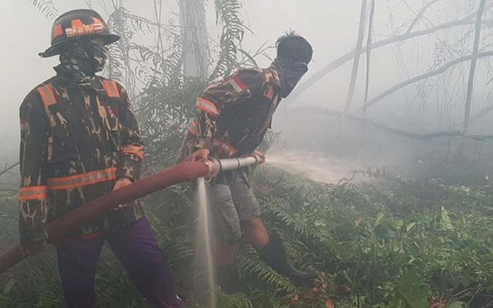
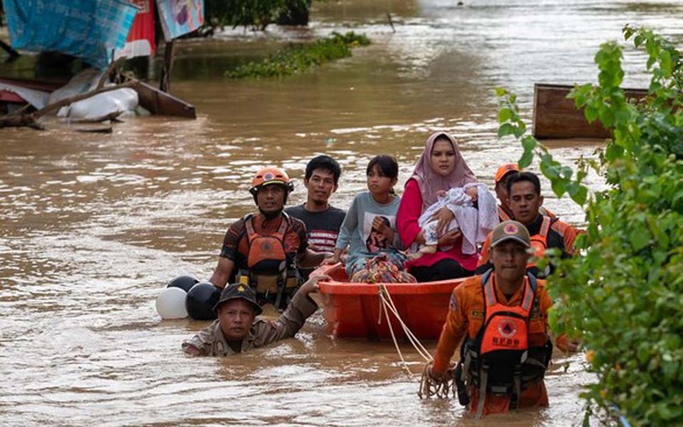
Over the weekend a joint search and rescue team evacuated a number of residents from the Ulu Salu Village in Latimojong sub-district, Luwu regency, who were isolated after landslides on Friday May 3. Forty tons of Logistical assistance has also been distributed.
A South Sulawesi regional police AW 169 helicopter was deployed to evacuate residents who had been isolated for three days in the mountains because the land route has been cut off. One of the residents who was evacuated named Indri (30) was nine months pregnant.
"Earlier we evacuated a pregnant women, who was close to giving birth along with their two infants, they have now reached [the Luwu capital of] Belopa and were immediately dealt with", said South Sulawesi regional police chief Inspector General Andi Rian R Djajadi on Sunday.
The two-star general said that there were a number of gathering points for residents affected by landslides in Latimojong sub-district. "We picked up the mother from her house which is one hour from the pickup point", he said.
Meanwhile, said Djajadi, the search and rescue team is endeavoring to open road access in the direction of Latimojong what has been blocked by material from the landslides.
"We are trying [to open] the land route. [We saw] many routes had been cut when monitored from the air. As of yesterday there were four units of heavy equipment working on normalizing the roads", he said.
Djajadi said the main obstacle facing the SAR team is difficulty evacuating and channeling assistance to residents affected by disaster, because many bridges were damaged.
"Like it or not, we have to think about sending assistance by using ropes and sending assistance bit by bit", he explained. Djajadi said however that some residents in isolated areas were reluctant to be evacuated, and only asked for logistical assistance to be distributed straight away.
"For those who need evacuation, we'll evacuate them, but most people there are only asking for logistical assistance. So we're just pushing through logistics there. So we use a helicopter from the AURI [air force] which is quite large and very effective, four tons have already been airdropped", he said. (tim, mir/kid)
Notes
The floods and landslides that hit Luwu regency on Friday afternoon have killed at least 14 people. Floods up to three meters have affected 13 sub-districts, more than 100 people have been evacuated to mosques or relatives' homes and more than 1,300 families have been affected. The government blamed the disaster on heavier than usual rainfall.
[Translated by James Balowski. The original title of the article was "Walhi Sulsel Sebut Banjir-Longsor di Luwu Imbas Aktivitas Tambang Emas".]