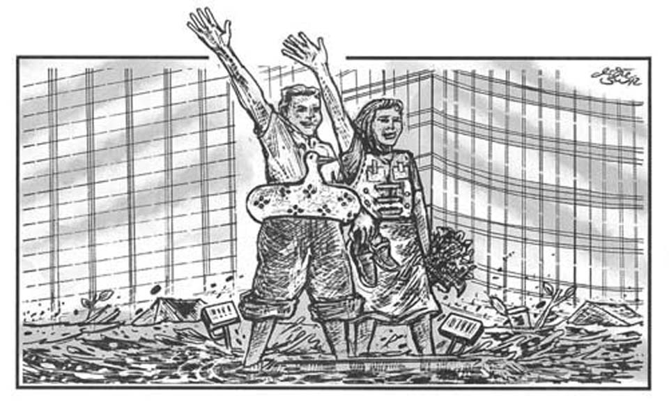


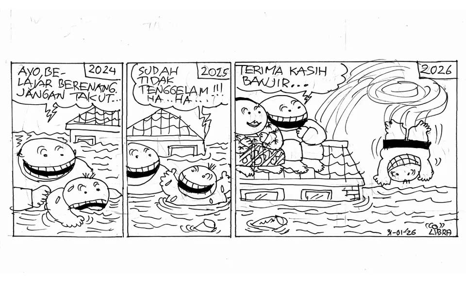
2024: Come one, learn to swim, don't be afraid...
2025: I'm not sinking anymore! Ha Ha...
2026: Thanks floods...
Heavy rainfall across Jakarta and surrounding areas since Wednesday night (January 28) has pushed several floodgates and river monitoring posts to alert status, leaving dozens of neighbourhoods and major roads inundated across the capital.
Data from the Jakarta Disaster Mitigation Agency (BPBD) showed that as of 11 am on Thursday, 28 neighbourhood units (RTs) and 11 roads remained flooded, with water depths varying by location.
Authorities said the flooding was triggered by prolonged heavy rainfall combined with water flows from upstream areas, particularly Bogor and its surroundings.
East Jakarta was the hardest-hit, with 14 RTs flooded across four sub-districts where water levels reached 110-150 centimetres, driven by intense rainfall and overflow from the Ciliwung River.
In West Jakarta, flooding affected 10 RTs in three sub-districts with water depths ranging from 30-80 centimetres, largely due to heavy rain and overflow from the Pesanggrahan River.
South Jakarta recorded flooding in three RTs with water depths of 40-60 centimetres. Meanwhile, North Jakarta saw flooding in one RT in Rorotan with water reaching about 50 centimetres.
Flooding also disrupted transportation, with 11 roads across Jakarta submerged, affecting traffic flow. Water depths on these roads ranged from 10-50 centimetres, according to BPBD.
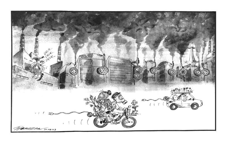
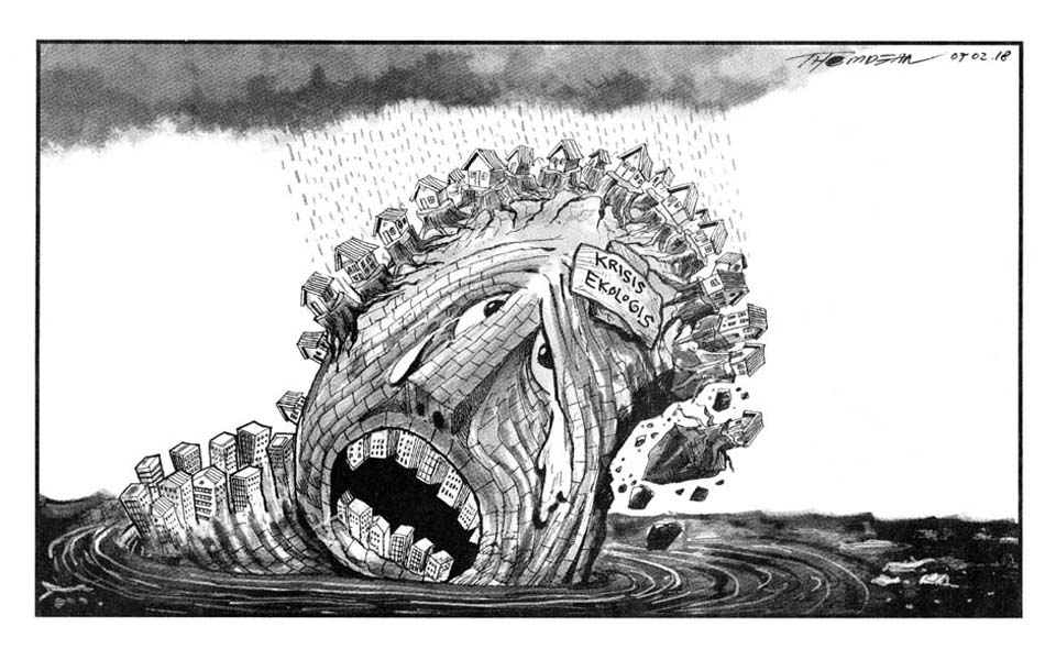
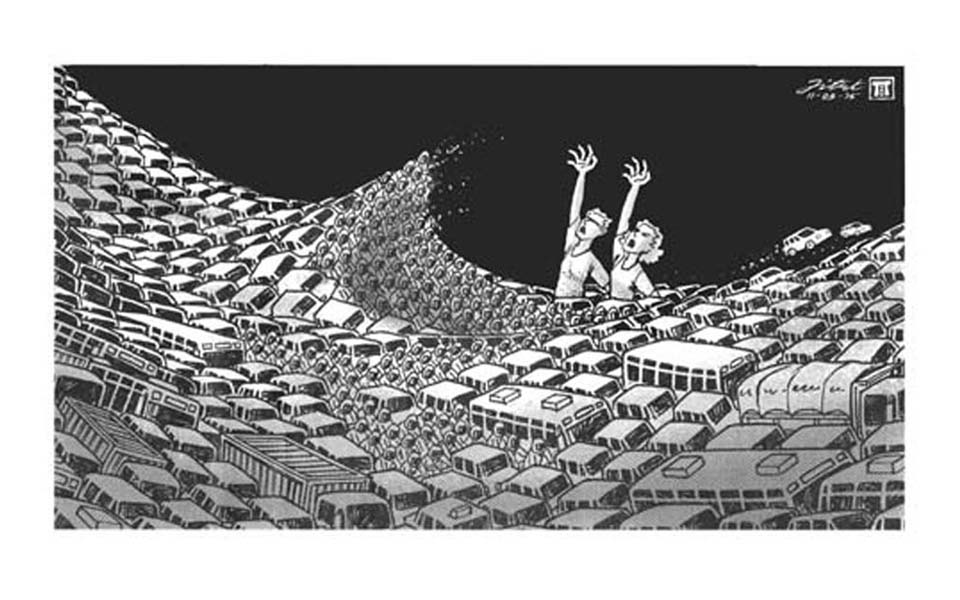
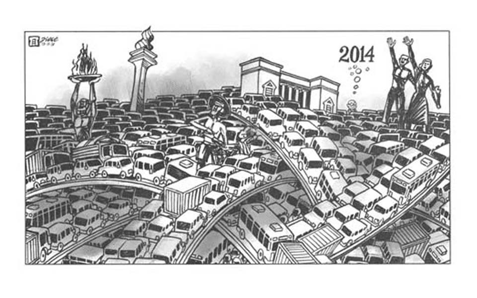
Flooding has become a perennial problem that has plagued Jakarta since the 1960s, with the worst floods recorded in 2007 when 80 people were killed over a period of 10 days. Experts say that the problem stems from a disastrous combination of rapid unregulated development, poor urban planning and widespread degradation of its rivers.
[Abridged from a Jakarta Globe article titled Heavy rain puts Jakarta on flood alert, dozens of areas inundated.]