


Sign reads: Photo Exhibition of Jakarta Floods 1960-2025
The torrential rain that inundated Jakarta last week has caused widespread flooding across several parts of the city, inundating major roads and leaving vehicles stranded and traffic paralysed for several hours.
The Jakarta Disaster Mitigation Agency (BPBD) reported that 27 neighbourhoods in South Jakarta were flooded, with water levels reaching up to 110 centimetres in some locations.
BPBD spokesperson Mohammad Yohan, who said that the floods spread across several subdistricts, were caused by the overflow of the Krukut and Mampang rivers, which burst their banks following the prolonged heavy downpour.
This is at least the third time this year that major floods have hit Jakarta and surrounding areas. In March floodwaters submerged several parts of South and East Jakarta forcing more than 1,200 people to evacuate. In July torrential rains triggered widespread flooding inundating over 100 neighbourhoods with water up to 150 centimetres deep.
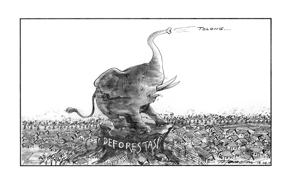
Flooding has become a perennial problem that has plagued Jakarta since the 1960s, with the worst floods recorded in 2007 when 80 people were killed over a period of 10 days. Experts say that the problem stems from a disastrous combination of rapid unregulated development, poor urban planning and widespread degradation of its rivers.
[Based on an October 30 article by the Jakarta Globe titled "Heavy rain floods South Jakarta, paralysing traffic in Kemang area".]